An official website of the United States government.
  Official websites use .gov
A .gov website belongs to an official government organization in the United States.
  Secure .gov websites use HTTPS
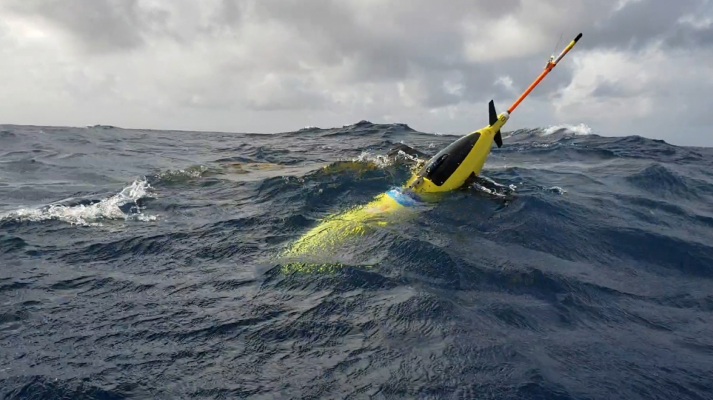
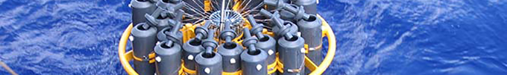
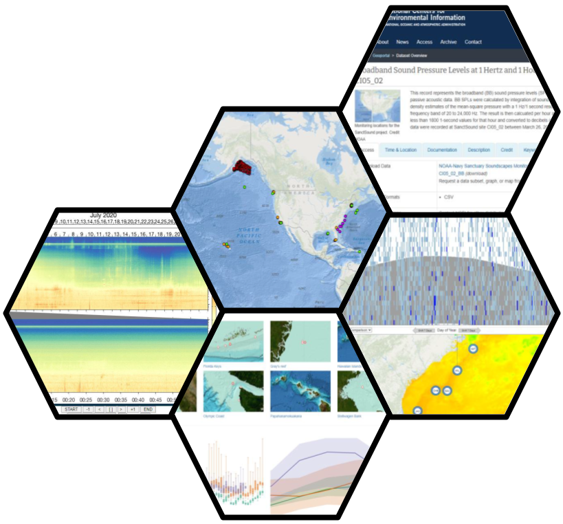
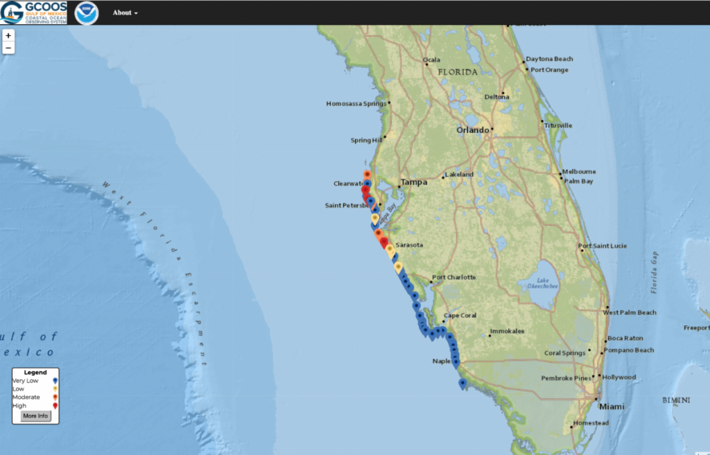
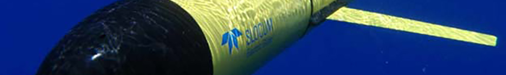
A lock or https:// means you’ve safely connected to the .gov website. Share sensitive information only on official, secure websites..
IOOS_logo
The U.S. Integrated Ocean Observing System (IOOS)The U.S. Integrated Ocean Observing System (IOOS)The U.S. Integrated Ocean Observing System (IOOS)The U.S. Integrated Ocean Observing System (IOOS)
  • About 
    • About Us
    • Meet the U.S. IOOS Program Office
    • Funding Opportunities
    • Governance and Management
      • Certification
    • IOOS By The Numbers
    • Regional & Functional Associations
    • The U.S. IOOS Enterprise Strategic Plan
    • Societal Benefits
    • Forecasting Hazards
    • History
  • Communications 
    • Ocean Enterprise
    • Eyes on the Ocean
    • News Splash
    • Document Library
    • The IOOS Logo
    • Presentations
    • Resources
  • Data 
    • Access IOOS Data
    • Regional Data Portals
    • Data Standards & Requirements
    • Sites & Apps for Mobile Use
  • IOOS In Action 
    • Animal Telemetry Network
    • Benefits of Ocean Observing Catalog
    • Coastal and Ocean Modeling Testbed
    • Data Management & Cyberinfrastructure
    • HF Radar
    • Marine Biodiversity Observation Network
    • Ocean Enterprise Studies
    • Ocean Technology Transition
    • QARTOD
    • Underwater Gliders
  • Regions 
    • IOOS Region Map
    • Alaska – AOOS
    • Caribbean – CARICOOS
    • Central and Northern California – CeNCOOS
    • Great Lakes – GLOS
    • Gulf of Mexico – GCOOS
    • Mid-Atlantic – MARACOOS
    • Northeast Atlantic – NERACOOS
    • Pacific Islands – PacIOOS
    • Pacific Northwest – NANOOS
    • Southeast – SECOORA
    • Southern California – SCCOOS
  • Community 
    • Alliance for Coastal Technologies – ACT
    • Education
    • Interagency Partnerships
    • IOOS Advisory Committee
    • Global
    • National
    • Regional

IOOS is our eyes on the ocean, coasts, and Great Lakes. We are an integrated network of people and technology gathering observing data and developing tracking and predictive tools to benefit the economy, the environment, and public safety at home, across the nation, and around the globe.

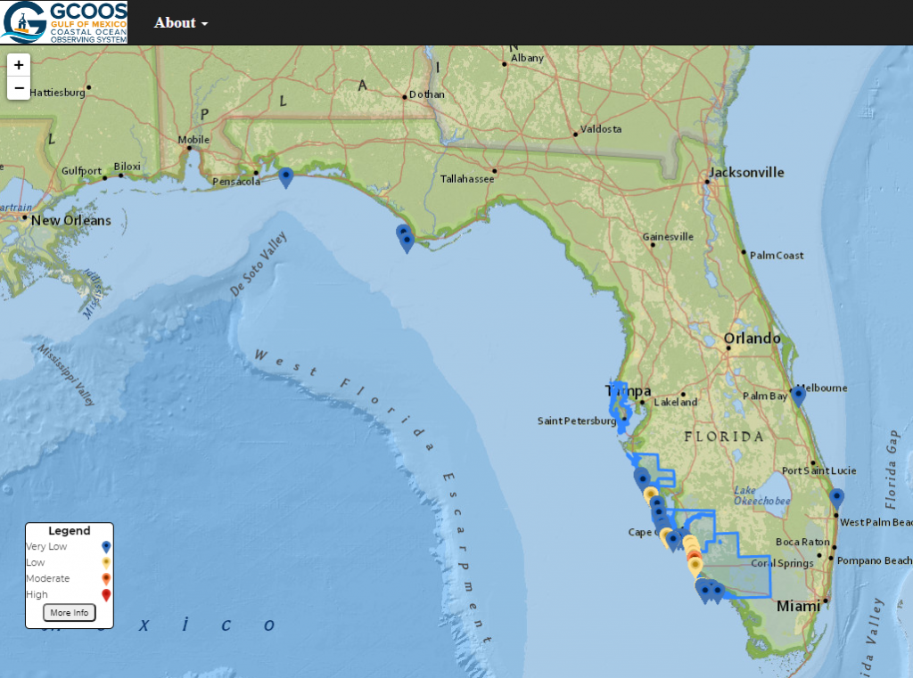
Week of 12/13: System status NORMAL. To check individual assets and information, visit ioos.us and/or the Environmental Sensor Map.

a glider plunges into the waves at sea

New NOAA report shows U.S. ocean enterprise sector grew 60 percent since 2015

Ocean Enterprise Studies

Ocean Enterprise Studies

EOTO initial graphic

Eyes on the Ocean™ - IOOS Bi-weekly - 2 December 2021

a collection of DMAC screenshots in a honeycomb layout

New awards advance IOOS data management

HABForecast tool

Red Tide Respiratory Forecast is Now Operational

From left to right: US IOOS Surface Currents Program Manager Brian Zelenke; MARACOOS Executive Director Dr. Gerhard Kuska; National Weather Service Director Dr. Louis Uccellini; and US IOOS Director Carl Gouldman commemorate the launch of the new HF Radar off Lewes Beach, Delaware.

New HFR site launched in Lewes, Delaware

Sea lions basking at LaJolla Cove

Enhancing Coastal and Ocean Observing and Innovation Workshops: IOOS-OAR Workshops

GOES East GeoColor satellite image of the Atlantic Ocean on September 11, 2018 showing Hurricanes Florence (L) and Helene (R) and Tropical Storm Isaac (center). Photo Credit: NOAA/NESDIS

Eyes on the Storm: Hurricane Season Resources

Nautiloid shell eaten away by ocean acidification.

Ocean Acidification

Animal Telemetry Network

Animal Telemetry Network

Marine Biodiversity Observation Network (MBON)

Marine Biodiversity Observation Network (MBON)

One of Monterey Bay Aquarium Research Institute's (MBARI) long-range autonomous underwater vehicles (LRAUV) makes its way through the green, algae-rich waters of Lake Erie to track the 2019 harmful algal bloom as part of a research collaboration with NOAA. Credit: Ben Yair Raanan, Monterey Bay Aquarium Research Institute (MBARI)

NOAA Awards $15.2M for Harmful Algal Bloom Research

A joint deployment of an environmental sensor processor off the Washington coast by NOAA and the Northwest Association of Networked Ocean Observing Systems, one of the certified IOOS regional associations. The sensor has a special sampling package on board designed to detect early signs of harmful algal blooms (HABs).

NOAA awards $41 million for ocean observing

Hidden Diversity: Researcher describes four new species of sponge that lay undiscovered in plain sight

Hidden Diversity: Researcher describes four new species of sponge that lay undiscovered in plain sight

Snapshot of the GCOOS Red Tide Respiratory Forecast portal dashboard

Expanding the Respiratory Forecast for the Gulf Coast

IOOS Site Survey

IOOS Site Survey

Ocean Technology Transition

Ocean Technology Transition

HF Radar

HF Radar

Coastal and Ocean Modeling Testbed

Coastal and Ocean Modeling Testbed

Underwater Gliders

Underwater Gliders

Main Sections

  • Home
  • About
  • Communications
  • Data
  • IOOS In Action
  • Regions
  • Community

Useful Pages

  • Staff Directory

Our Social Ocean

  • facebook.com/usioosgov
  • twitter.com/usioosgov

Contact

U.S. Integrated Ocean Observing System
1315 East-West Highway 2nd Floor
Silver Spring, MD 20910

(240) 533-9444

Contact Us

Privacy Policy  |  Disclaimer  |  Contact Webmaster  |  Survey  |  Information Quality  |  FOIA  |  EEO

Website Owner: National Ocean Service  |  National Oceanic and Atmospheric Administration  |  Department of Commerce  |  USA.gov

indicates a link leaves the site. View our Link Disclaimer for more information.